Unified Communications
Tech trio Carbonix, RIEGL & Phase One revolutionise aerial surveying
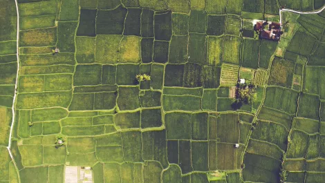
Leaders in drone technology, Carbonix, teamed with RIEGL and Phase One, to revolutionise aerial surveying and geospatial data acquisition, paving the way for efficient large-scale 3D terrain mapping.
By Catherine Knowles
•
3 min read
•
Tue, 5th Mar 2024